

Monitoring: Training & Information
Project Navigation
Background
Currently, information on most amphibians in the Rocky Mountain region comes from opportunistic observations or small, short-term studies. Although important, these data cannot be used to track long-term population trends. Because of increasing concern over documented amphibian declines around the world, monitoring long-term population trends for amphibians in the Rocky Mountain West is critical to helping resource managers identify and address problems.
The Rocky Mountain Amphibian Project is a collaborative effort involving the University of Wyoming, regional state and federal agencies, non-profit organizations, and community scientists. Collecting amphibian monitoring data in a standardized and scientifically rigorous manner will allow researchers to assess trends in our local amphibian populations.
Our amphibian monitoring program is based on a framework developed by the USGS Amphibian Research and Monitoring Initiative (ARMI). This framework, developed by a team of leading scientists, is currently being implemented successfully in the Greater Yellowstone Ecosystem. It is based on tracking changes in the amount of habitat occupied by amphibians over time. This metric, called occupancy, is a powerful metric for monitoring because presence/absence data are more reliably and easily collected than abundance data, making long-term monitoring more sustainable. For detailed information about our study design, click here.
Training
Training is essential to collecting quality data that can be used to estimate trends in amphibian populations. In-person trainings are generally held in the beginning of June each year (you will be contacted by project managers after adopting a catchment with specific details). For those who want to participate from outside of Laramie, there are training videos available on our website to watch before surveying your adopted catchments.
Training Process:
-
Review monitoring information and survey methods [this page]
-
Read up on amphibian conservation, and why it's important in the Rocky Mountain region.
-
Learn about Wyoming's Amphibians and how to identify all 12 species.
-
Watch the Amphibian Survey Training Videos
-
Take the online training quiz
Survey Methods
Frogs, toads, and salamanders can be tough to find due to their small size and cryptic behaviors. Just because we don’t see them right away doesn’t mean they’re not out there! Conducting multiple surveys of the same wetland in a given year lets us estimate species-specific detection probabilities (the probability that a species is observed given that it is present), which we can use in our models to more accurately estimate occupancy. We ask that volunteers survey adopted catchments (and all wetland sites therein) at least twice during the summer season. The more surveys we can get, the better our estimates will be!
RMAP volunteers will conduct wetland surveys according to one of the following two protocols:
Dual-observer method
This method is for survey groups consisting of two people. Each person will conduct an independent survey of each wetland. Generally, surveyors will work in opposite directions around the wetland, recording data on species observed. Thus, the wetland is surveyed twice during the visit, allowing us to more accurately estimate detection probabilities.
Download the dual-observer protocol here.
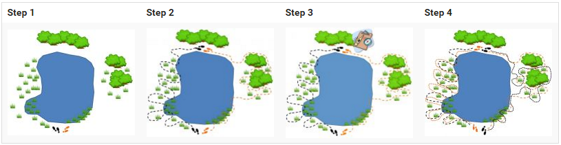
Team method
This method is for larger groups of surveyors (3 or more people) who will work together to survey the wetland by spreading out and searching all wet areas.
Download the team protocol here.

Equipment and Supplies
In addition to recording data on all amphibian species observed during the survey, surveyors will also record environmental data (including air and water temperature, water pH, weather conditions, and site characteristics). Volunteers will be loaned a survey kit with supplies necessary for collecting these data.
Loaner kits include:
-
Amphibian identification guide
-
Datasheets
-
Dipnets
-
Thermometer
-
pH testing strips
-
GPS unit (if needed)
-
Pre-labeled vials for collecting chytrid fungus samples
-
Swabs for collecting chytrid fungus samples
Once you complete your survey, you will need to return the kit (either in-person or mail).
YOU WILL NEED TO BRING YOUR OWN:
-
Sunscreen, bug spray, etc.
-
Waders or boots
-
Weather-proof jackets
Additional Resources
GPS UNIT TRAINING
Not sure how to use a GPS unit but need to use one at your catchment? Check out this presentation by Joe Ceradini (Wyoming Natural Diversity Database), which covers how to use a few of the most common GPS units. Please reach out if you need additional assistance, we are happy to help!